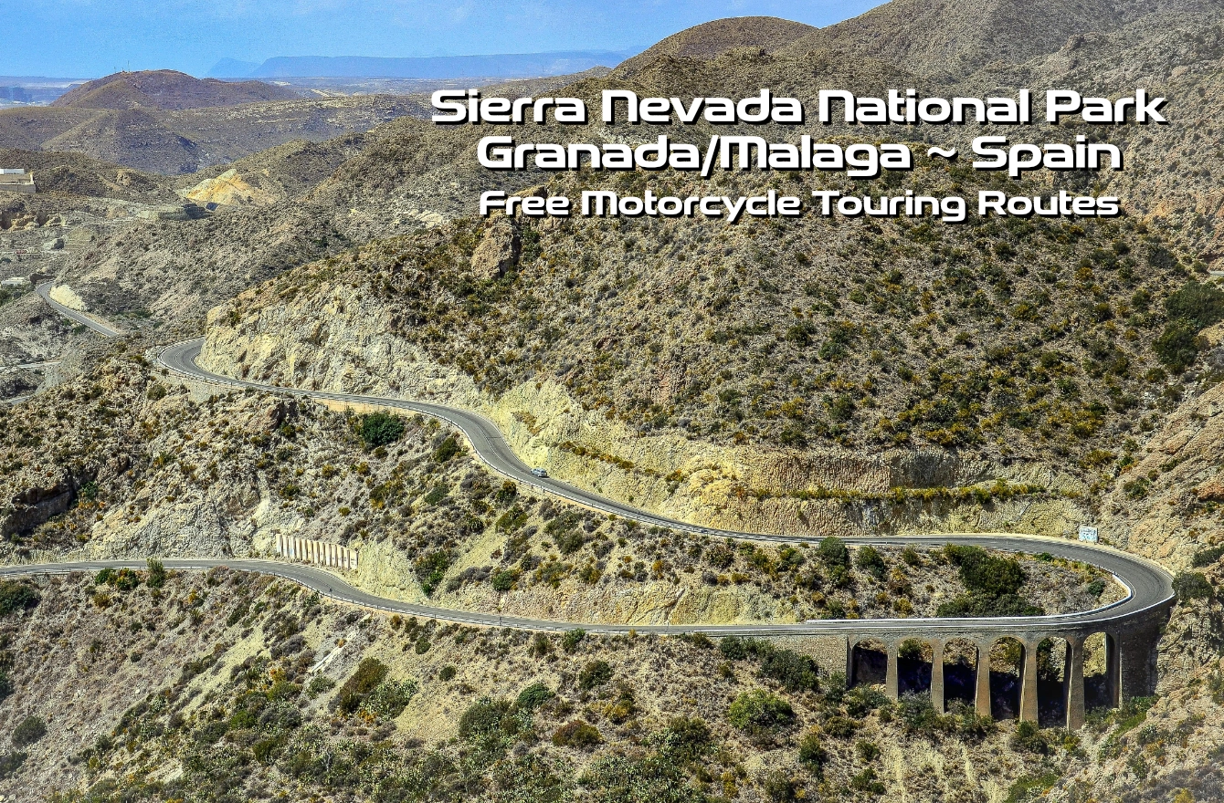

The obvious destination to explore in Spain is the Picos. The region is just a few hours’ ride from the Santander Ferry, has excellent tarmac, and attracts bikers from all over during the summer.
However, there is much more to Spain than just the Picos. The northern coast, often called Green Spain, offers fantastic riding and more affordable accommodation.
And for those of us undertaking a full Spanish tour or looking for a Fly-Ride Winter Sunshine destination, the Sierra Nevada National Park in southern Spain, near Malaga, is well worth a visit.
There are trails for off-road enthusiasts, and for those who can’t do off-roading, there are mile after mile of twisty roads.
The routes below only scratch the surface of what is available, and if you are planning a Fly-Ride visit, more details can be found in Part 8 of Diary of a Winter Rider.
When importing GPX files, your GPS or Phone navigation app will recalulate the route based on your navigation preferences. We add waypoints to hopefully minimise any differences, but it is always worth double-checking.


If you have a route that you would like to share, get in touch and with the Editor, and we will do our best to include it. Download, ride and enjoy. What could possibly go wrong? All the motorcycle touring routes are GPX 1.1 version files.
All of the motorcycle touring routes are provided “as is” without guarantee, liability or any assurances. The lawyers said we had to include that sentence. All we can tell you is that we had an excellent time planning and riding them.
The Routes
The Andalusia region of Spain and the Sierra Nevada National Park are littered with epic roads. Some are narrow with stunning vistas, while others are fast and flowing.
There are long sections of the TET based here that, due to the diverse landscape, offer a wide range of challenges. Off-roading isn’t our thing, but if you would like more information, the TET Spain page can be found here.
For those of us who prefer tarmac, below are three routes that loop around the area, starting and ending from 2 Wheels Granada.
The remaining two routes are for those who prefer to Fly-Ride rather than tour through Spain to reach the National Park. The first airport route will take you to 2 Wheels Granada – a great place to stay – via the twisties, while the return route is much more direct (and therefore boring).
As always – Download – Ride – Enjoy. Our Motorcycle Touring Routes are free, and if you enjoy them, please leave a comment for others.
Malaga Airport to 2 Wheels Granada
Map of the route “Sierra Nevada Spain – Free Motorcycle Touring Routes”: 102.50 mi, 14,252 ft of climbing and 10,623 ft of descent, elevation between 3 ft and 3,645 ft, time 02:39:05. It starts at 36.67489, -4.48465 and ends at 37.34088, -3.92405 (latitude, longitude).
Fast and Curvy Cerro de las Pedrizas Illora
Map of the route “Sierra Nevada Spain – Free Motorcycle Touring Routes”: 157.74 mi, 14,846 ft of climbing and 14,452 ft of descent, elevation between 909 ft and 3,645 ft, time 03:50:42. It starts at 37.34294, -3.93902 and ends at 37.34088, -3.92405 (latitude, longitude).
2 Wheels Granada Loop Through Guadix
Map of the route “Sierra Nevada Spain – Free Motorcycle Touring Routes”: 187.47 mi, 21,539 ft of climbing and 20,272 ft of descent, elevation between 1,030 ft and 6,716 ft, time 03:59:11. It starts at 37.29058, -3.86625 and ends at 37.33465, -3.91040 (latitude, longitude).
2 Wheels Granada Lopp Through Jaen
Map of the route “Sierra Nevada Spain – Free Motorcycle Touring Routes”: 159.16 mi, 15,052 ft of climbing and 14,596 ft of descent, elevation between 1,240 ft and 3,950 ft, time 04:08:04. It starts at 37.32509, -3.98794 and ends at 37.33780, -3.92161 (latitude, longitude).
Fastest Route Back To Malaga Airport
Map of the route “Sierra Nevada Spain – Free Motorcycle Touring Routes”: 77.17 mi, 5,741 ft of climbing and 9,367 ft of descent, elevation between 10 ft and 3,924 ft, time 01:37:31. It starts at 37.33929, -3.91880 and ends at 36.67212, -4.48213 (latitude, longitude).
Dunlop SportSmart MK4
Master The Turns