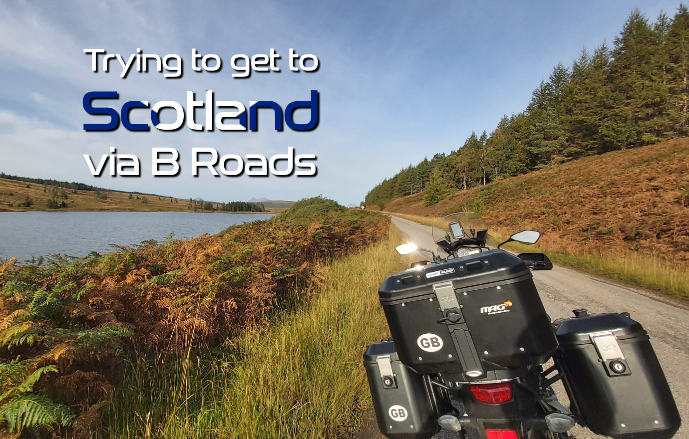

Riding a motorcycle to Scotland isn’t difficult. Usually, my route to Scotland involves an hour on the A1 to get to Scotch Corner and then start heading a cross country.
It would be much simpler if I stuck to the direct route, but as the point of riding to Scotland is to ride my motorcycle, I wondered if I could get to Scotland via B Roads.
It has to be possible. The question is perhaps more about practicality. How much time will that add to the journey? How many times will I run out of petrol and how many times will I get lost?
Only one way to find out … What could possibly go wrong?
Failed at the First
The definition of a B road that I’m working to is perhaps the first thing to clear up, or I’m going to fail a few miles into the journey.
According to the Government, the official definition of whether a road is classified as an A or B road depends on its intended use. A Roads are major roads intended to provide large-scale transport links within or between areas, while B roads are designed to connect different areas and feed traffic between A roads.
However, as in some parts of the UK, the major road between two towns is a single-track road with passing places. The term “major” is definitely subjective. The picture below – thanks to Google Maps – is the A837 in Scotland.

The Government gets around the different sizes and capacity of the same classification of roads by stating … I do love some ministerial double talk …
“There are wide disparities in the road networks in different parts of England (and Scotland). It is not helpful to adopt a single standard for selecting different road classes in every part of the country. Classifications must be set in a way that reflects the road network in their local area.”
Unlike the Government, I would find it very helpful if roads were classified to a common standard, but perhaps that is just me.
So, after all that waffle, I’m aiming, as far as possible, to use actual B roads as defined by the Government. However, there are places where I’m going to have to use what is officially an A road, but I’m sticking to the minor ones.
If you want to know more about road numbering and classifications – I can’t think why you would, but who knows – the Government has a website – Guidance on road classification and the primary route network – GOV.UK (www.gov.uk)
Got to Start Somewhere
If you live in Cornwall, the route to Scotland via B Roads will be very different from a person living in Carlisle.
Starting the route in the middle of the United Kingdom seemed like the right idea, but there are several methods for calculating this. One method says the middle of Morcombe Bay is the answer. Another says Whalley in Lancashire. I went with the broad-brush definition of somewhere in the Midlands, mainly because that is where I live.
Heading North
Aiming at the space between major towns appears to be the best way to plan the route. Not always easy in some parts of the country.
Starting west of Lincoln but east of Nottingham gave me a good start as long as I avoided the A1. My next target was the gap between Leeds and York, using the A162 and the A659. Not exactly what I wanted, but at least they are minor A roads.
Through Wetherby, onto the B6164 and then the B6165 to the north of Harrogate, all seems logical and then comes the first big decision.
If I want to take the road less travelled and stick to the B roads, then the route remains on the B6165 to Glasshouses and then take the B6265 to Threshfield, where I’d pick up the B6160. Stick with the B6160 until I meet the A684, cross the River Ure and then north on the A6108.
The alternative is to take the A61 to Ripon and join the A6108 there. It all depends on how much time is available. The road to Glasshouses is a popular one.
Regardless of which route I choose, I’d stay on the A6108 for thirty-something miles until arriving at Richmond, pick up the B6274, and the fun really begins.
Now you know about the route to Scotland that runs diagonally across England between Darlington and Carlisle, eventually spitting you out in Scotland at Gretna Green, is something you’ll want to keep to yourself.

The last thing we need is camper vans discovering this route and spoiling all the fun. It is roughly 70 miles of twisty, flowing road for you to enjoy. I’ve ridden it a couple of times and never been disappointed. If it were raining hard, I would be tempted to take the more established A68/A69 route, but otherwise, it has to be one of the best ways to get to Scotland.
Where am I Going?
Having arrived in Scotland, a destination would be helpful, so I picked Moffat. The first look at the map shows the A74(M) running from Gretna Green directly to Moffat.
However, there is also the B7076 that runs parallel to the A74(M), and for a little variety, you can divert a little to the west and pick up the B7020.
Either road will take you to the A701, and from there, it is a mile and a half to Moffat.
The total distance – as planned – is 248 miles, which is what I usually aim for as a daily distance when touring. Scotland on B Roads looks to be not only achievable but also practical.
Petrol
I was recently told that there are more EV charging stations on the NC500 than petrol stations. It is a wonderful statistic, and if it is true for the NC500, I’m sure the same statistic will apply elsewhere if I stick to the main roads and popular routes.
But I don’t want to take the same route as everyone else. I want to get away from the traffic, which also means a possible absence of petrol stations.
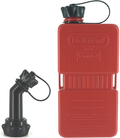 I’ve checked, and my route planner suggests that there are more than enough as long as I do some early fills to avoid getting caught short.
For those that worry about such things – that’s me – Nippy Normans stock a range of slimline petrol containers made by Hünersdorff in Germany.
Whereas a 5-litre petrol container from any motor spares shop will do the same thing, they take up a lot of space, and if you have ever tried securing a 5-kilogram fluid container to the lid of your top box … well, if you have tried, you know.
If putting a petrol container inside your top box isn’t your thing, the flat sides and narrow width make the Hünersdorff Fuel Friends easy to strap to the outside of the top box with Andy Strapz.
There is even a fancy spout that stops fuel from being spilt and considering how much it costs, that is a good thing.
My Tracer averages 56MPG, which converts to a litre of fuel moving me 12 miles. Not a great distance, but compared to walking or, worse, pushing the bike, I’ll take it. If nothing else, it might get me to a café.
Scotland via B Roads
That is the plan – ride to Scotland via B Roads. A different route back from Scotland, again using B roads, is taking shape.
Both routes will be available to download from the Motorcycle Touring Routes – Scotland pages (for free, of course) once I’ve ridden them.
After all, what could possibly go wrong?